
T: 0330 400 5329

2D Mapping - Quality Drone Imagery
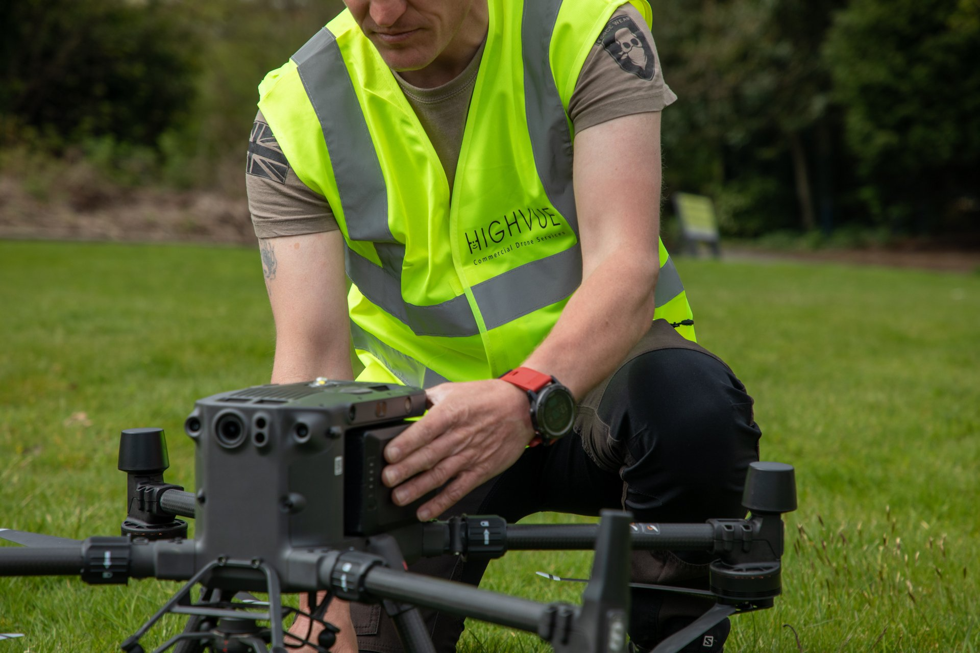
Here at Highvue, we are able to provide high-quality 2D mapping using industry-leading drones, technology and the latest software available. Until recent times, the only way to capture high resolution and accurate imagery were through manned aircraft but the rapid advancement of drone technology now allows a much safer, efficient and cost-effective way. Our drones are now able to create a 2D mapping for a range of sectors including commercial property management.
Our 2D mapping services are ideal for helping clients to accurately map areas quickly and cost-effectively to provide essential data that helps expedite map production. Take a look at just how 2D mapping works in action and see how it would benefit your own business practices. 2D and 3D mapping is available depending on your personal requirements and allocated budget.
Why 2D Mapping?
- 2D Mapping is beneficial for many different industries including land surveying, construction, estate agency and much more. 2D mapping is a greatly beneficial tool for the rental or sale of buildings, land assets or properties and allows for detailed insight that otherwise wouldn’t be directly accessible.
- 2D mapping also provides high-resolution imagery and incredible detail. The level of detail on the map is often measured in CM/Pixel which means that every pixel and area will be best represented on the map without question.
- 2D mapping is also highly beneficial for measuring real distances without any space for error and also for comparative analysis over time. Overlapping 2D aerial images are paired together and using this information, also combined with 30 and 45-degree angles.


"Highvue Commercial Drone Services provided an extremely professional, tailored, and high-quality service.”
Jo Ellis
Why Choose Highvue For 2D Mapping?
Here at Highvue, we deliver high-quality 2D mapping services for a multitude of sectors including the gas sector, commercial property and estate management, and many more. We are able to provide 2D mapping for clients that is like Google Earth but way sharper. Just like all commercial drone services we provide, you can expect simplicity, convenience, and tailored services.


Contact Us Today
It all starts with getting in touch with us today to find out more about how we can help. Please contact us today by calling us or using our online contact form.
© Copyright 2021 HighVue Drone Services Ltd. All Rights Reserved.
99 Stanley Rd, Kirkdale, Liverpool L20 7DA